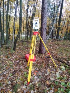
Certified Survey Maps
 A Certified Survey Map (CSM) is survey done typically to subdivide parcels of land, creating up to a maximum of four lots. This survey is recorded in the Register of Deeds office, and often has local or and/or county requirements beyond the state requirements for this type of survey that the surveyor can help navigate by presenting the survey before the local Town Board or city/village council if need be. A CSM is also a great tool to use with a poor existing legal description of a parcel of land that needs its boundaries verified and marked, as well as a new legal description to fix errors in the current legal description.
