Boundary Surveys
This is a survey performed to accurately locate, verify, and mark the boundaries of a 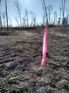 parcel of land. An instrument known as a “Map of Survey” is filed with the county showing boundaries of the property along with any pertinent features such as structures, driveways, etc. In Wisconsin, any time a surveyor does any locating of boundary lines what-so-ever, it is a legal requirement to file a map of the work done, and the Map of Survey is the common way of documenting the findings on the ground.